We offer 3D scanning solutions to accurately digitise built, industrial or construction environments. Our goal is to provide reliable and detailed data for use in BIM processes, maintenance, renovation or construction control.
Benefits of the service
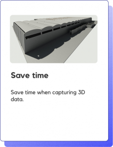
Accurate and efficient capture of the environment
We use laser scanners and advanced technologies to obtain complete and reliable geometric information about the space.
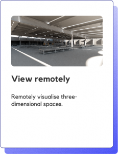
Optimise decision-making
Scanned data allows for planning, intervention, and design based on a verified digital reality.
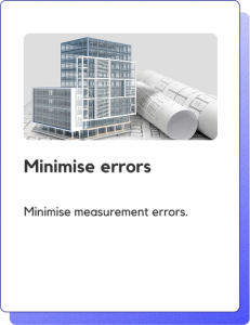
Save time and reduce errors
Minimise site visits and rework thanks to accurate and precise documentation of your project.
Seamless integration with the BIM environment
We generate point clouds ready for use on BIM platforms such as Revit, Archicad, or Navisworks.
FAQs
What type of technology do you use for 3D scanning?
We use high-precision laser scanners and photogrammetry systems according to the needs of the project, ensuring accuracy in data capture. The laser scanner emits a beam of light that bounces off the surface of the object and returns to the sensor. The time it takes to return allows us to calculate the distance between the scanner and the surface of the object. By combining these measurements with the position of the scanner, points are generated in three-dimensional space.
Can I use scanning in an existing building to create a BIM model?
Yes, in fact it is one of the most common applications. The scan generates a point cloud that can be used as a basis for BIM modelling (Scan to BIM). In addition, 3D scanning is applicable to both indoor and outdoor spaces, even in complex conditions or with variable lighting.
What formats do you deliver the scan data in?
We can deliver point clouds in formats such as .e57, .rcs, .las, or .xyz, tailored to the software you use and compatible with CAD, BIM, and GIS design software. This allows for integration into design, analysis, and documentation workflows.
How accurate can you expect a point cloud scan to be?
Accuracy varies depending on the conditions and requirements of the scan, but generally ranges from a few millimetres to a few centimetres.
What advantages does point cloud scanning offer a company?
Point cloud scanning provides an accurate and detailed representation of objects and environments, facilitating informed decision-making, improving operational efficiency, and reducing long-term costs by minimising errors and rework.